 Who knew red rock country could look silver and blue? A few images from my first trip to Moab this year (February 2013). All three were taken along Utah Scenic Route 128. It starts near the ghost-town of Cisco and follows the Colorado River into Moab via Professor Valley. The image above is available through Glow Artworks who I starting working with earlier this year.
 It would not be Utah if the landscape did not have some evidence of the gas and oil industry. The facility above is part of a pipeline that runs through the area.
 Lastly a view into Professor Valley from Utah Scenic Route 128. Close to the center is Fisher Towers, an area not known to look blue. FWIW all 3 images were shot with the spectacular Zeiss 100mm Makro-Planar lens.


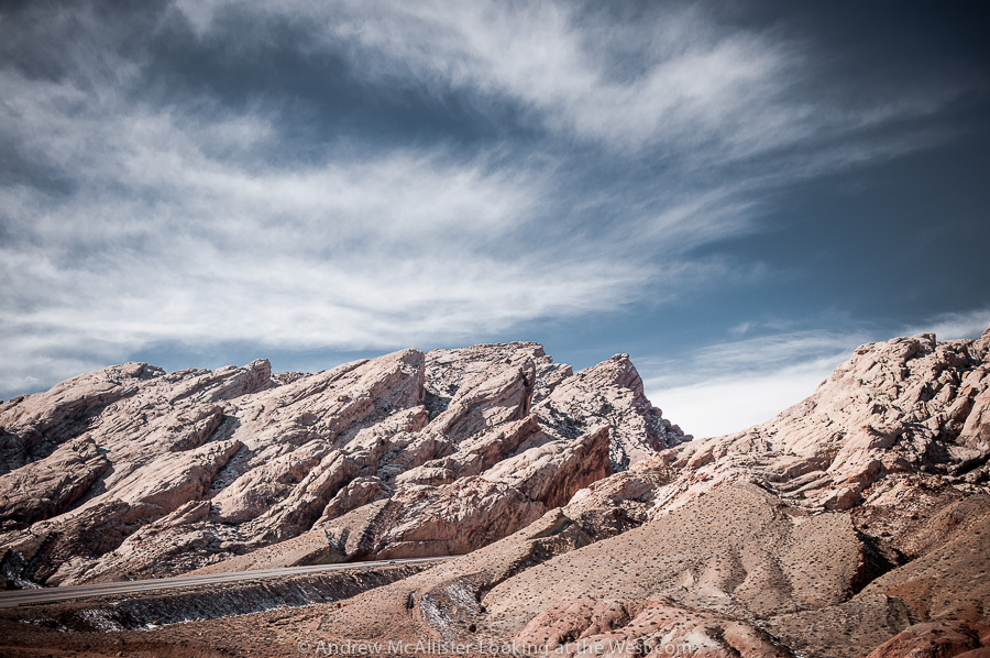
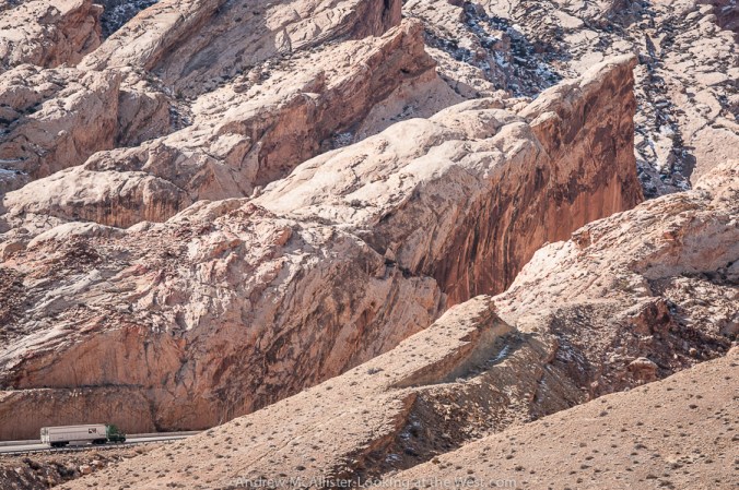 Above: Detail of the road cut at the San Rafael Reef. Didactics at the rest area explain the massive project to widen a slot canyon into the modern highway we travel today.


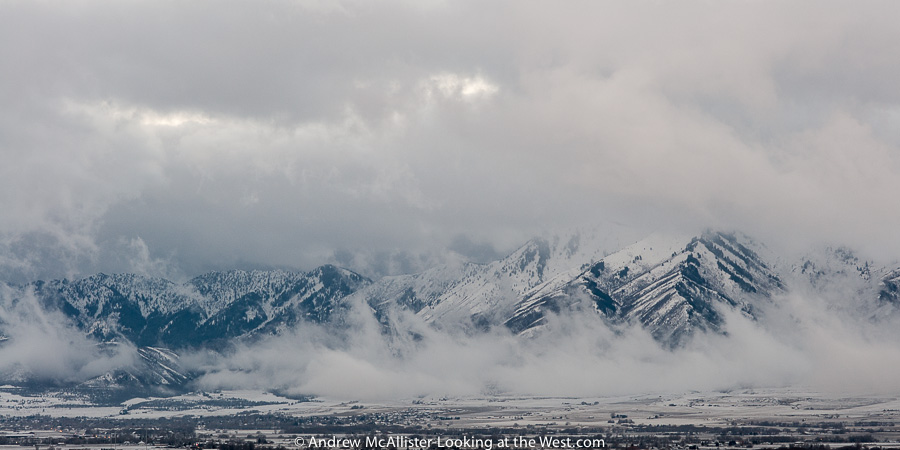
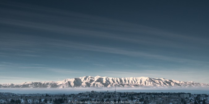
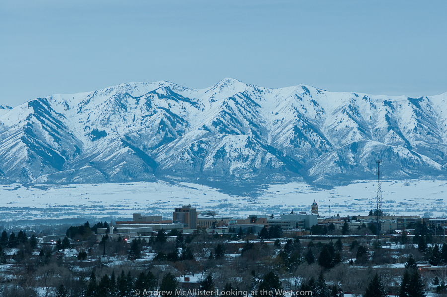
 Above: Dramatic view of the Cache Valley Inversion 2/2/13. The inversion continues and like most things looks better or worse depending on the day and the hour. As a newer resident I am shocked at how disgusting the air can be. At times you can taste it in your mouth for 30 minutes after you have come inside. I’m fortunate to live on the bench and am above the thick part of it most of the time. Visually the inversion can be stunning and enjoyable to photograph. I prefer drama to a clear blue sky any day.
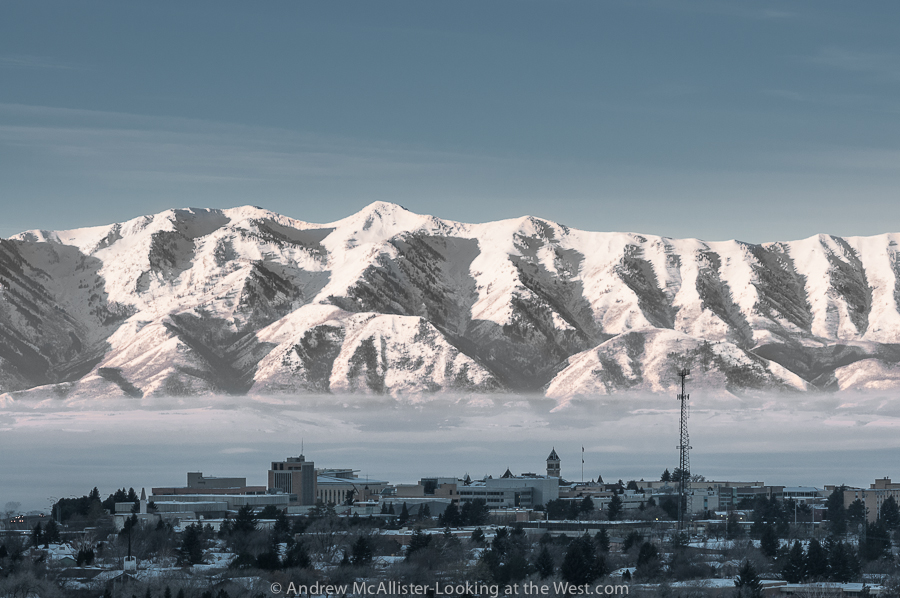


