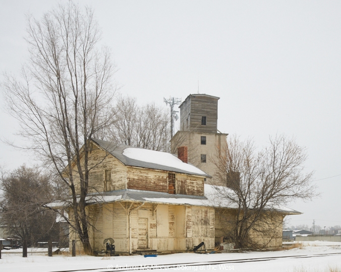
The mountain behind our house has a passive repeater on it. It’s one of those things that looks like a blank billboard. I wrote about it back in 2011 in this blog post (link). Since that time my eye has been tuned to these various bits of communications infrastructure (especially outdated ones) and when I find ones that are interesting I make a picture of them. I have loosely grouped them as a collection called Repeaters, Towers and Power. 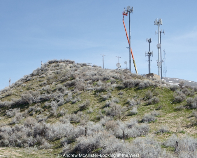
Beautiful spring weather always inspires me to go out to look and see my environment and photograph what I find interesting. This day in March of 2017 it was communications equipment. As I was coming down from the pass that connects Cache Valley to the Wasatch Front here in Northern Utah I spotted a familiar group of cell towers, but today a maintenance crew was working on one. The normal collection of strait metal poles was disrupted by an orange slash of some sort of lift bucket being used by the workers. A cluster of cell towers had never been that interesting to me but that little bit of orange drew me in. The old utility pole that looks like a cross on the hill also sparked my attention. That I was seeing quite literally the new mode of communication replacing an older one. I remembered a time many years ago, in Ohio, when cell phones were just getting popular. All of a sudden these giant towers started showing up in fields and hill tops. It was disturbing because it was something new on that hill where it was only trees before. Us older folks are used to seeing them now and the younger kids have always known them. That is life. I cant imagine what the technology will be 50 years from now. Will these things be around or will we have moved on to something better? Think of houses with giant TV antennas or those huge satellite dishes. Who knows, maybe this seemingly mundane image will be of interest to a future generation who no longer lives in a landscape with these structures.
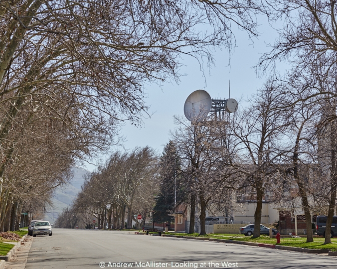
A few blocks away I found a transceiver pointed to a nearby passive repeater. To my eyes it looks both old and futuristic. Like it should be in a Saturday afternoon movie. I imagine it being installed and it being the talk of the town. The big dish does certainly make a statement.

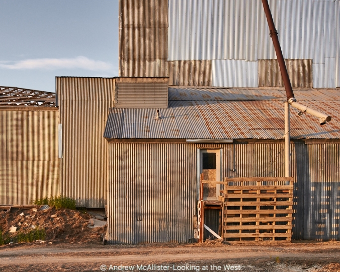
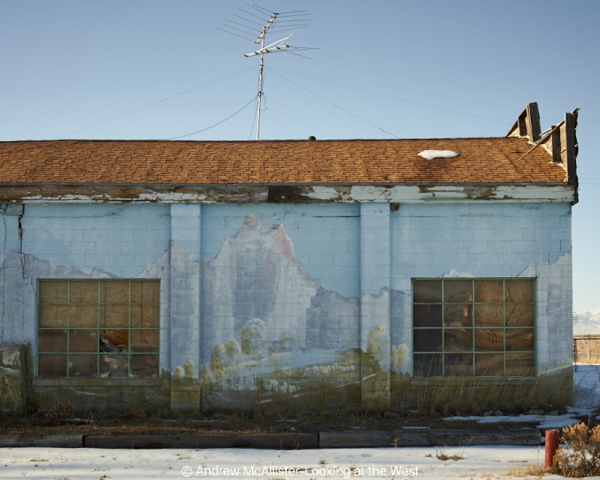
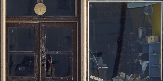
 Commercial building, Bancroft, Idaho 2014
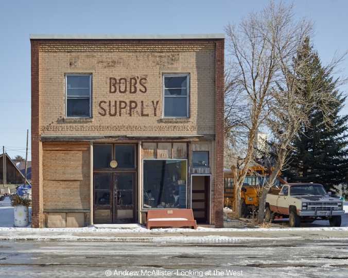